The radar in the rain forest: Remote sensing, national security and colonization of tropical regions (1960-1990)
Event details
- Start: 13 May 2026 12:00
- End: 13 May 2026 13:30
- iHC Seminar room
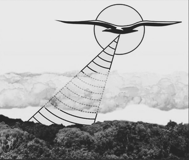
During the Cold War, the tropical rainforests of Latin America—the Darién, the Amazon, the Chocó, the Orinoco plains—were surveyed by aircraft equipped with a radargrammetric technology called SLAR (Side Looking Airborne Radar). This technology could "see" the terrain through the clouds and thick vegetation, which for decades had prevented the creation of maps based on conventional aerial photography. What began as a radar system designed to locate enemy targets ("targeting") ended up producing the first detailed maps of vast tropical regions that until then had appeared "blank" in official atlases.
In this Work in Progress (WiP) seminar, Sebastián Díaz tells the still little-studied history of SLAR. It explores the pioneering projects developed between the 1960s and 1970s in Panama, Colombia, and Brazil, in which Latin American governments, the U.S. military, private companies, and cartographic institutes collaborated to “conquer the jungle” and make it legible. Radargrammetric projects were used to plan new infrastructure, open colonization roads, inventory minerals and timber, monitor borders, pursue guerrilla groups, and, later, track illicit crops and monitor deforestation.
The central idea of this talk is simple: radar technology never fully transitioned from military to civilian or environmental use. From the outset, SLAR was used simultaneously for warfare, development, resource extraction, and conservation.
And here a final paradox emerges: while from the air these technologies erased people from the landscape, on the ground they demanded enormous verification campaigns—geologists, soil scientists, forestry engineers, biologists, and, at times, anthropologists traversing the jungle for years—which ultimately transformed the paradigms with which the social and environmental sciences understood the tropics. What did not change, however, were the extractive, developmental, and surveillance functions that had given rise to remote sensing, and which have continued to accompany it to this day.
Commentator: Jaume Valentines (UAB)
Sebastián Díaz Ángel is a post-doctoral researcher working on the ERC-SG project «CLIMASAT: Remote-sensing satellite data and the making of global climate in Europe, 1980s–2000s». with a B.A. in Political Science, a B.A. in History, a M.A. in Geography and a Ph.D. in History, Díaz combines environmental history, science and technology studies, and geopolitics, with particular focus on historical geography and the history of cartography. His current research analyzes the politics of remote sensing and satellite data infrastructures in the Americas.
If you are interested in reading the entire text in advance —highly recommended, since the WiP seminar format presupposes prior reading— you can request it from Sebastian.Diaz@uab.cat or Laia.Torres.Casas@uab.cat
Remember that you can bring your lunch on site, as we will have a lunch-seminar format, rigorous and informal at the same time.