News
Search results
Showing matches with:
3D Surveying Practice with LiDAR Technology in the Master’s Degree in Geoinformation
25 02 2026
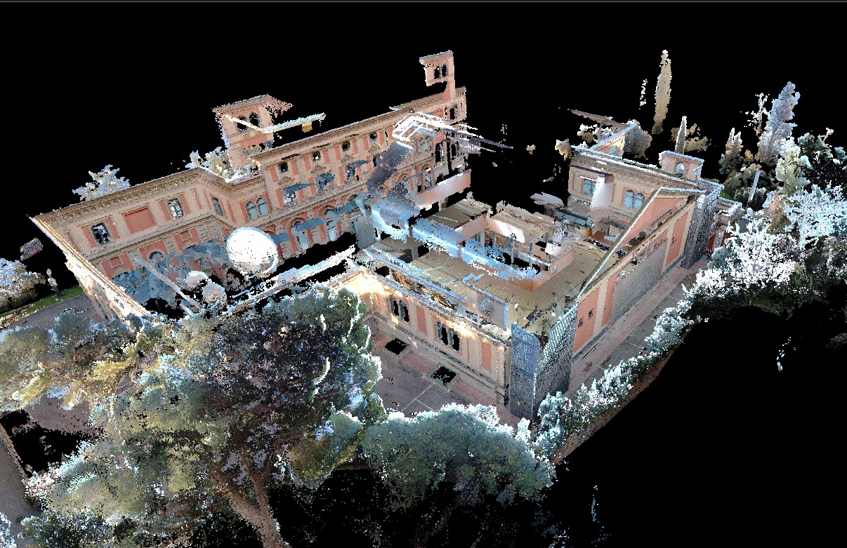
Students from the Master’s Degree in Geoinformation at the Universitat Autònoma de Barcelona, in collaboration with the Institut Cartogràfic i Geològic de Catalunya, carried out a hands-on session using a terrestrial LiDAR sensor and SLAM technology to gain first-hand experience of the full workflow for 3D data capture and model generation. The training session was conducted with the participation of GeoLímits.
Geography in Action Welcomes Students from Enric Borràs Secondary School to Rethink Badalona
23 02 2026
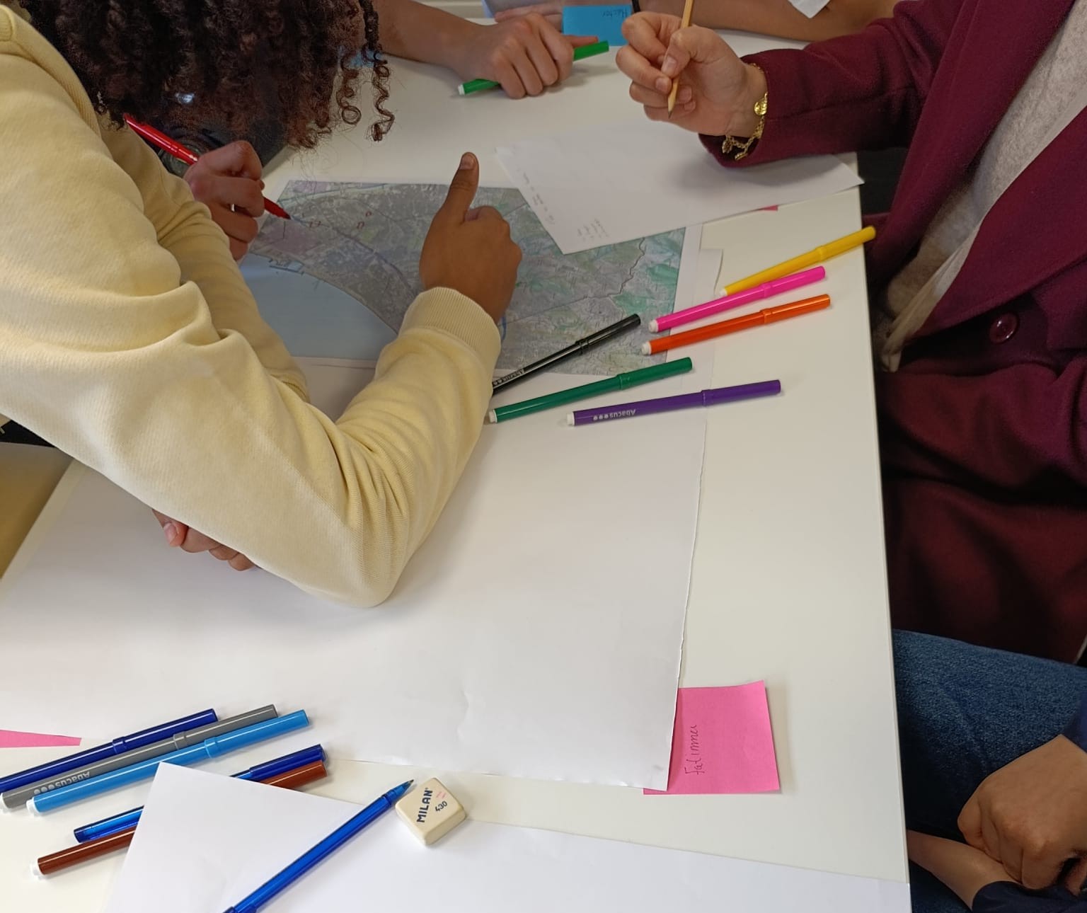
On Wednesday, February 18, the first Geography in Action workshop of the academic year took place: “Geoinformation as a Source of Knowledge”, with the participation of second-year high school students from Enric Borràs Secondary School in Badalona.