News
Search results
Showing matches with:
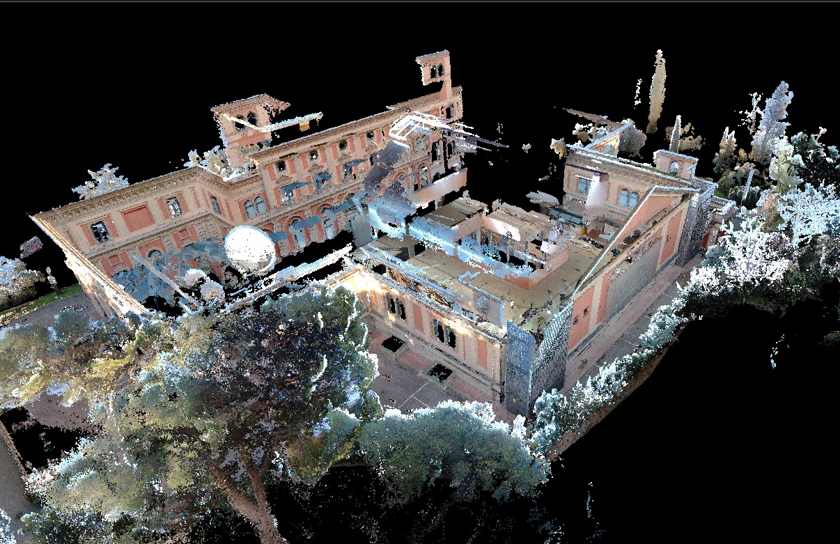
3D Surveying Practice with LiDAR Technology in the Master’s Degree in Geoinformation
25 02 2026
Students from the Master’s Degree in Geoinformation at the Universitat Autònoma de Barcelona, in collaboration with the Institut Cartogràfic i Geològic de Catalunya, carried out a hands-on session using a terrestrial LiDAR sensor and SLAM technology to gain first-hand experience of the full workflow for 3D data capture and model generation. The training session was conducted with the participation of GeoLímits.
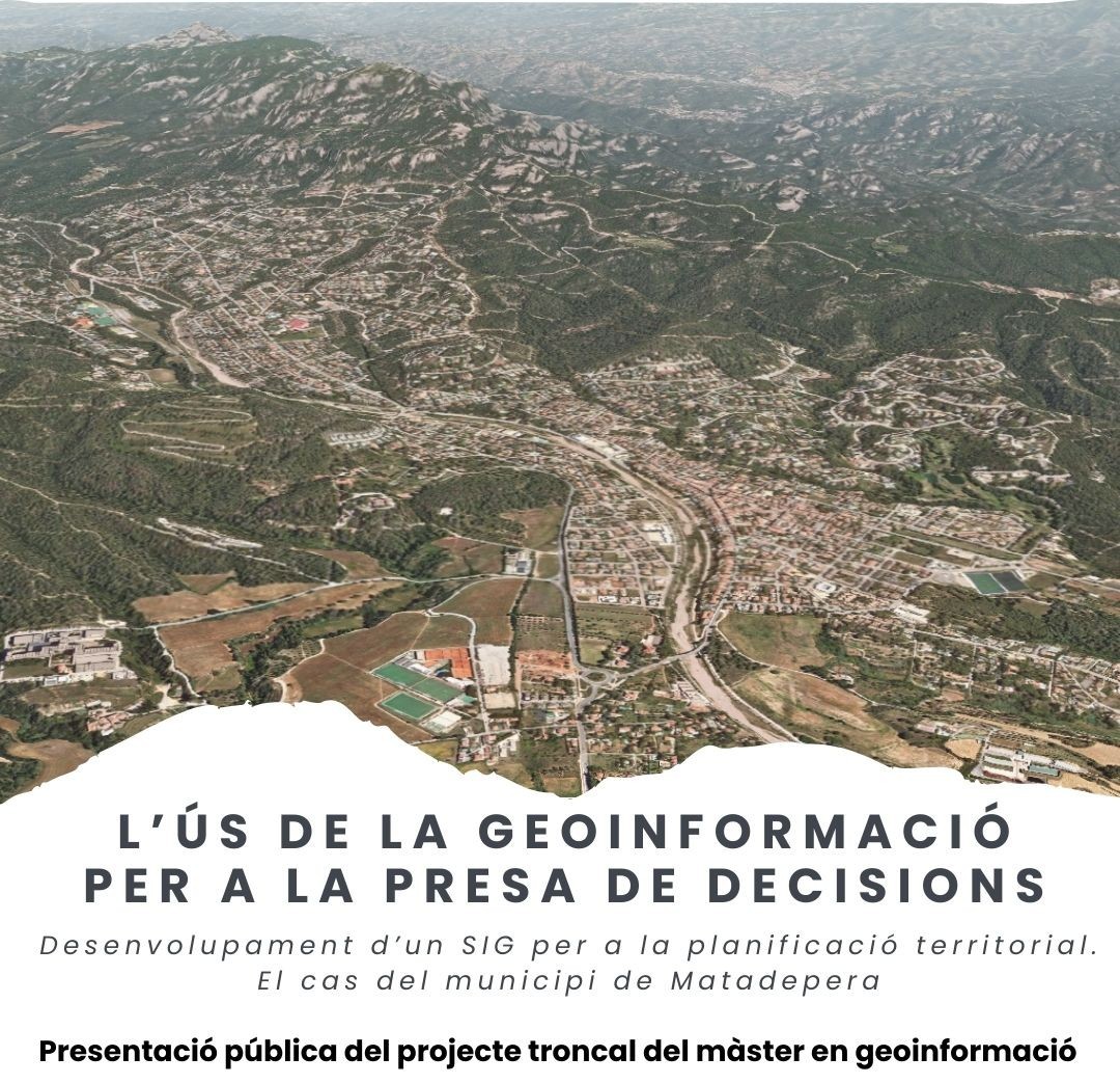
Public Presentation of the Core Project of the Master’s Degree in Geoinformation in Matadepera
09 02 2026
The Master’s Degree in Geoinformation publicly presents the GIS project: “The Use of Geoinformation for Decision-Making. Development of a GIS for Territorial Planning. The Case of the Municipality of Matadepera.”
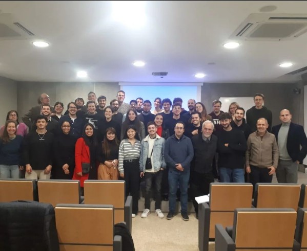
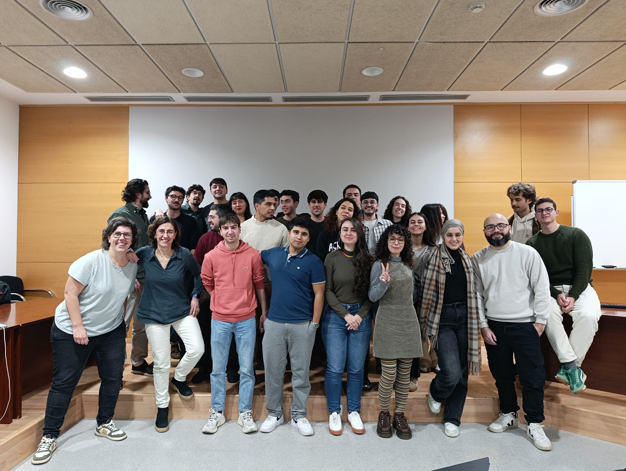
Academic Presentation of the Core Project of the Master¿s Degree in Geoinformation
02 02 2026
On Thursday, January 29, the academic presentation of the core project of the Master’s Degree in Geoinformation took place.
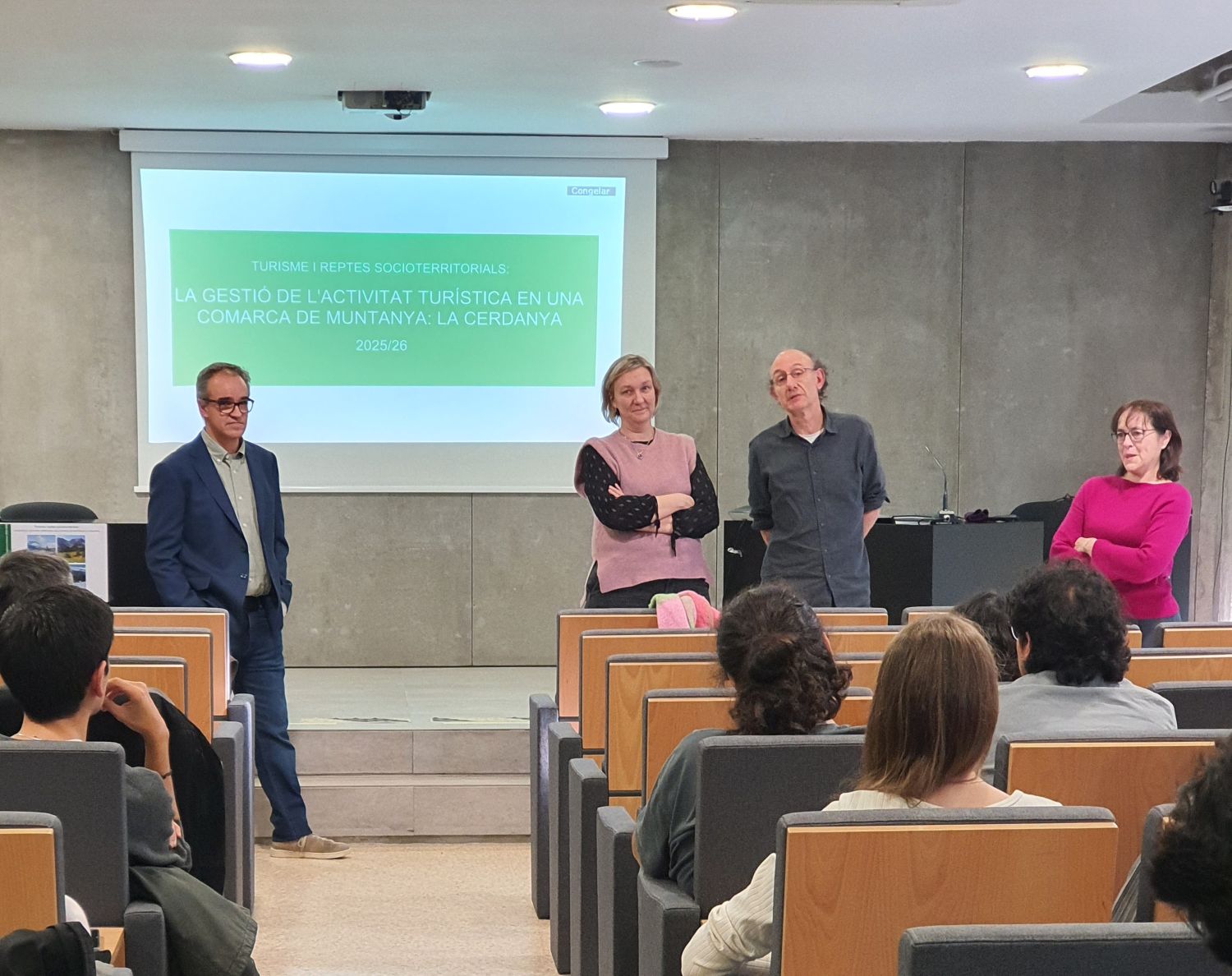
Public Presentation of the Core Project of the Master¿s Degree in Territorial Studies and Planning
23 01 2026
Public Presentation of the Core Project of the Master’s Degree in Territorial Studies and Planning (2025–2026): Tourism and Socio-Territorial Challenges. Managing Tourism Activity in a Mountain Region: Cerdanya.
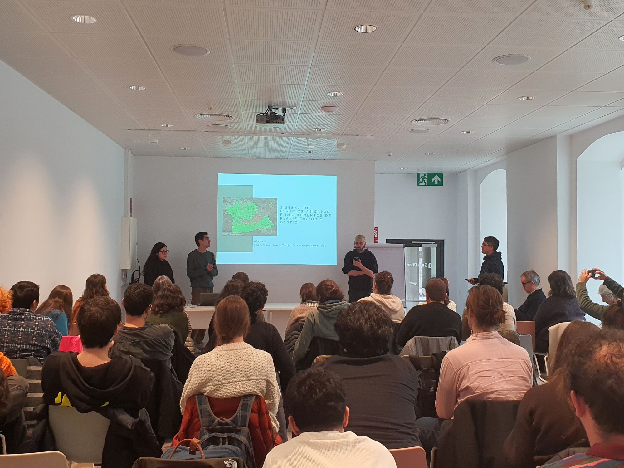
Photographs from the Knowledge Transfer and Co-creation Workshop on Tourism Management in Cerdanya
14 01 2026
On January 13, a knowledge transfer and co-creation workshop linked to the core project of the Master’s Degree in Territorial Studies and Planning was held in Puigcerdà. The activity enabled master’s students to present the projects developed on tourism management in Cerdanya and to discuss them with local stakeholders.
Presentation of the first semester project of the 8th edition of the Master¿s in Geoinformation.
13 02 2025
On Friday, February 7th, the first-semester projects of the 8th edition of the Master’s in Geoinformation were presented.
Public presentation of the core project of the Master's Degree in Territorial Studies and Planning
27 01 2025
Public presentation of the core project of the Master's Degree in Territorial Studies and Planning (2024-2025): Tourism and socio-territorial challenges. Planning and management of inland tourism in the Vinalopó corridor (Alicante).
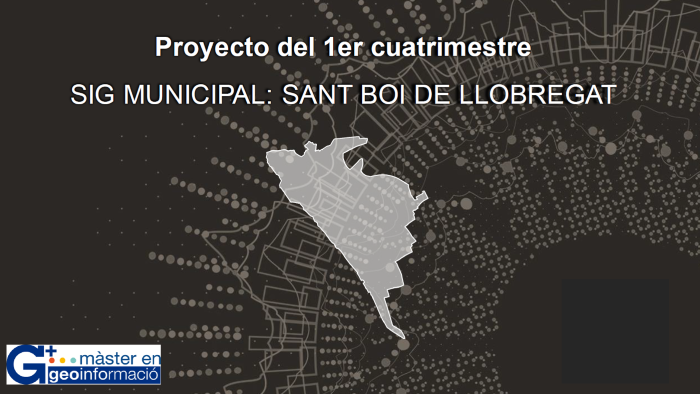
Presentation of Master's Degree in Geoinformation projects
05 02 2024
Presentation of the projects of the first quarter of the Master's Degree in Geoinformation
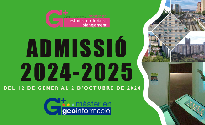
Admission to Master's programs for the 2024-2025 academic year
31 01 2024
Applications for admission to the Master's program for the 2024-2025 academic year are open from January 12.
Public presentation of the University Master's Degree in Territorial Studies and Planning core project
28 01 2024
Public presentation of the core project of the Master's Degree in Territorial Studies and Planning (2023-2024): "Active Mobility in Metropolitan Environments: Bases for the planning and management of active mobility in Ribera Baixa".