News
Search results
Showing matches with:
Opening Event for the Exhibition of the METiP Final Projects in Puigcerdà
25 05 2026
On May 20, the opening event for the exhibition of the projects resulting from the core project of the Master’s Degree in Territorial Studies and Planning was held in Puigcerdà. The exhibition can be visited until June 20 at the Cerdanya Regional Archive.

Participation of the Department of Geography in the LoupO Coexistence project
11 05 2026
Professors Ricard Moren and Albert Pèlachs, from the Department, are participating in the European project LoupO Coexistence, launched on May 6 to promote compatibility between the presence of bears and wolves and rural activities in the Pyrenees.

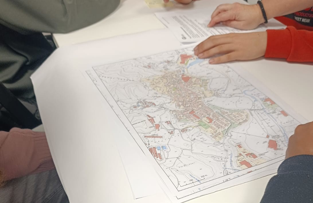
Geography in Action welcomes students from IE Barnola to rethink Avinyó.
02 03 2026
On Tuesday, February 25, a new edition of the Geography in Action workshop took place, with the participation of 37 third- and fourth-year secondary school students from IE Barnola in Avinyó.
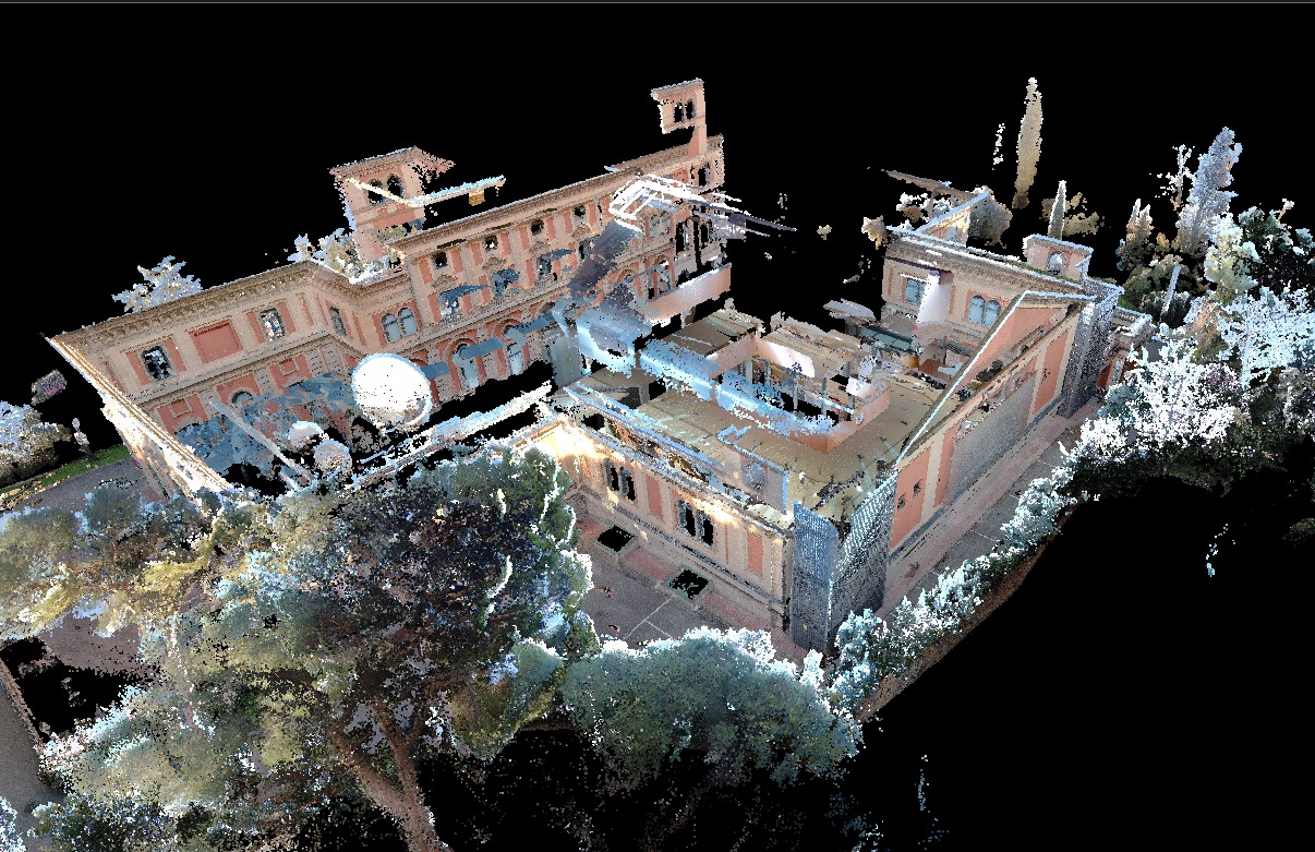
3D Surveying Practice with LiDAR Technology in the Master’s Degree in Geoinformation
25 02 2026
Students from the Master’s Degree in Geoinformation at the Universitat Autònoma de Barcelona, in collaboration with the Institut Cartogràfic i Geològic de Catalunya, carried out a hands-on session using a terrestrial LiDAR sensor and SLAM technology to gain first-hand experience of the full workflow for 3D data capture and model generation. The training session was conducted with the participation of GeoLímits.
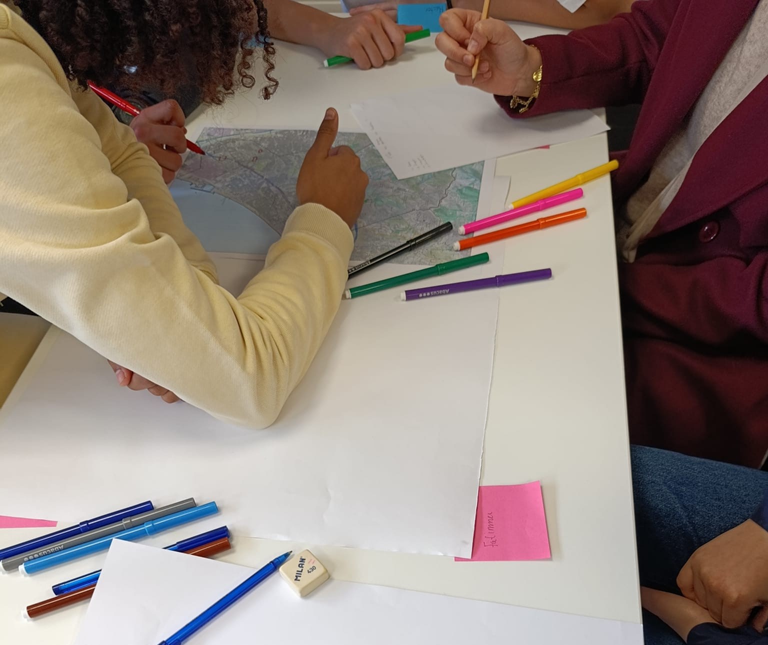
Geography in Action Welcomes Students from Enric Borràs Secondary School to Rethink Badalona
23 02 2026
On Wednesday, February 18, the first Geography in Action workshop of the academic year took place: “Geoinformation as a Source of Knowledge”, with the participation of second-year high school students from Enric Borràs Secondary School in Badalona.
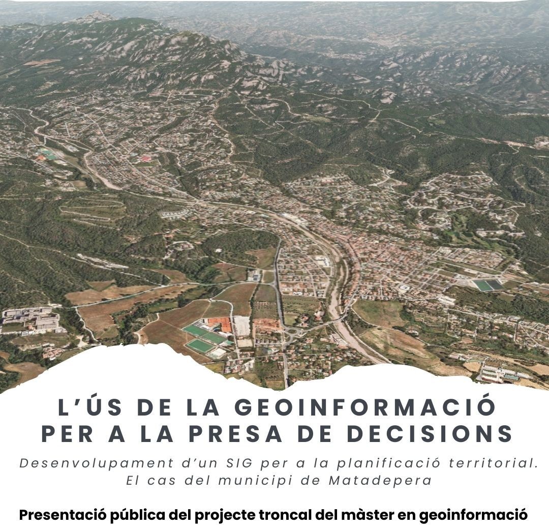
Public Presentation of the Core Project of the Master’s Degree in Geoinformation in Matadepera
09 02 2026
The Master’s Degree in Geoinformation publicly presents the GIS project: “The Use of Geoinformation for Decision-Making. Development of a GIS for Territorial Planning. The Case of the Municipality of Matadepera.”
Academic Presentation of the Core Project of the Master¿s Degree in Geoinformation
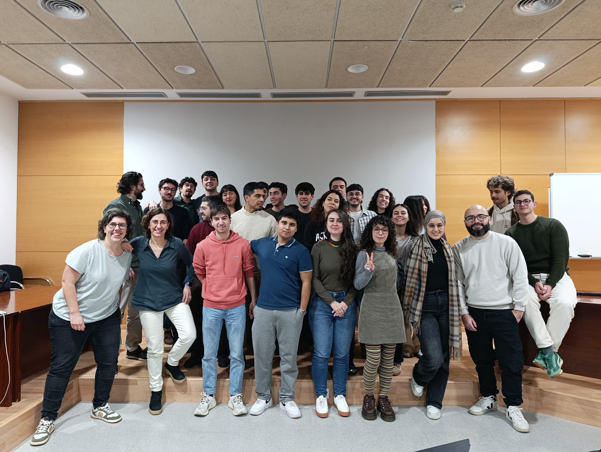
02 02 2026
On Thursday, January 29, the academic presentation of the core project of the Master’s Degree in Geoinformation took place.
Public Presentation of the Core Project of the Master¿s Degree in Territorial Studies and Planning
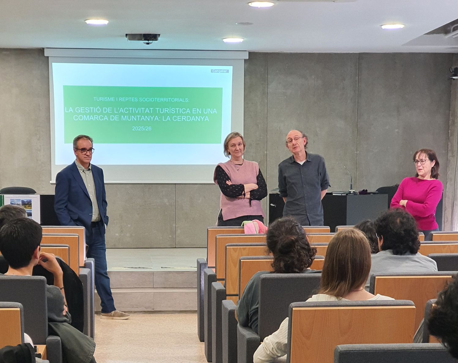
23 01 2026
Public Presentation of the Core Project of the Master’s Degree in Territorial Studies and Planning (2025–2026): Tourism and Socio-Territorial Challenges. Managing Tourism Activity in a Mountain Region: Cerdanya.
Photographs from the Knowledge Transfer and Co-creation Workshop on Tourism Management in Cerdanya
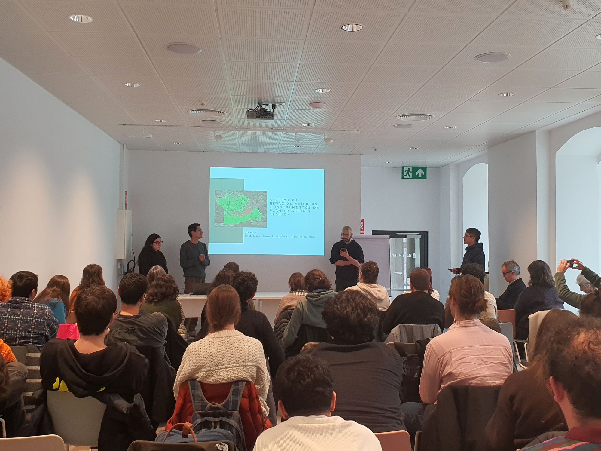
14 01 2026
On January 13, a knowledge transfer and co-creation workshop linked to the core project of the Master’s Degree in Territorial Studies and Planning was held in Puigcerdà. The activity enabled master’s students to present the projects developed on tourism management in Cerdanya and to discuss them with local stakeholders.
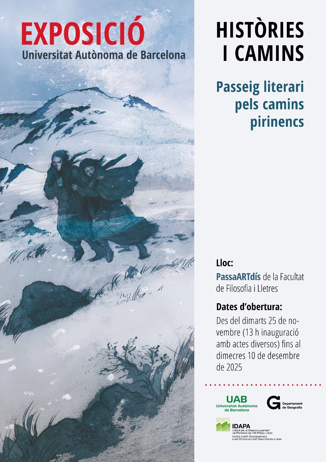
Exhibition "Stories and Paths: A Literary Walk through the Pyrenean Trails"
13 11 2025
Opening of the exhibition "STORIES AND PATHS: A Literary Walk through the Pyrenean Trails" on Tuesday, November 25, 2025, at 1:00 p.m., at the PassARTdís space of the Faculty of Philosophy and Arts.