Public Presentation of the Core Project of the Master’s Degree in Geoinformation in Matadepera
The Master’s Degree in Geoinformation publicly presents the GIS project: “The Use of Geoinformation for Decision-Making. Development of a GIS for Territorial Planning. The Case of the Municipality of Matadepera.”
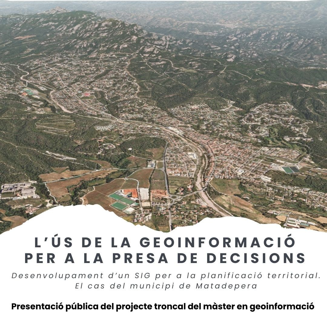
Last Thursday, February 5, 2026, the public presentation of the core project of the Master’s Degree in Geoinformation at the Universitat Autònoma de Barcelona (UAB) took place in the main auditorium of the Casal de Cultura in Matadepera.
In this ninth edition of the programme, students were organized into multidisciplinary teams with the main objective of creating, implementing and managing a corporate GIS for the municipal administration of the Matadepera City Council. The project integrates knowledge from courses on geospatial data, databases, Earth navigation and observation, geographic information systems, geoprocessing and geoservices.
The event was attended by Àngel Cebollada, Head of the Department of Geography, and Anna Badia, Coordinator of the Master’s Degree in Geoinformation, as well as master’s lecturers Assumpció Térmens and Meritxell Gisbert. Representing the Matadepera City Council, the Mayor, Guillem Montagut, Councillors Laura Rios and Carme Campanyà, and municipal technical staff were also present.
The posters presenting the project results will be on display until February 24 in the hall of the Faculty of Arts and Humanities.
The Department of Geography congratulates the master’s students on their work and encourages them to approach the second semester with the same motivation and commitment.
Link to the photos from the presentation event.