Projects
Tourism and Socio-Territorial Challenges
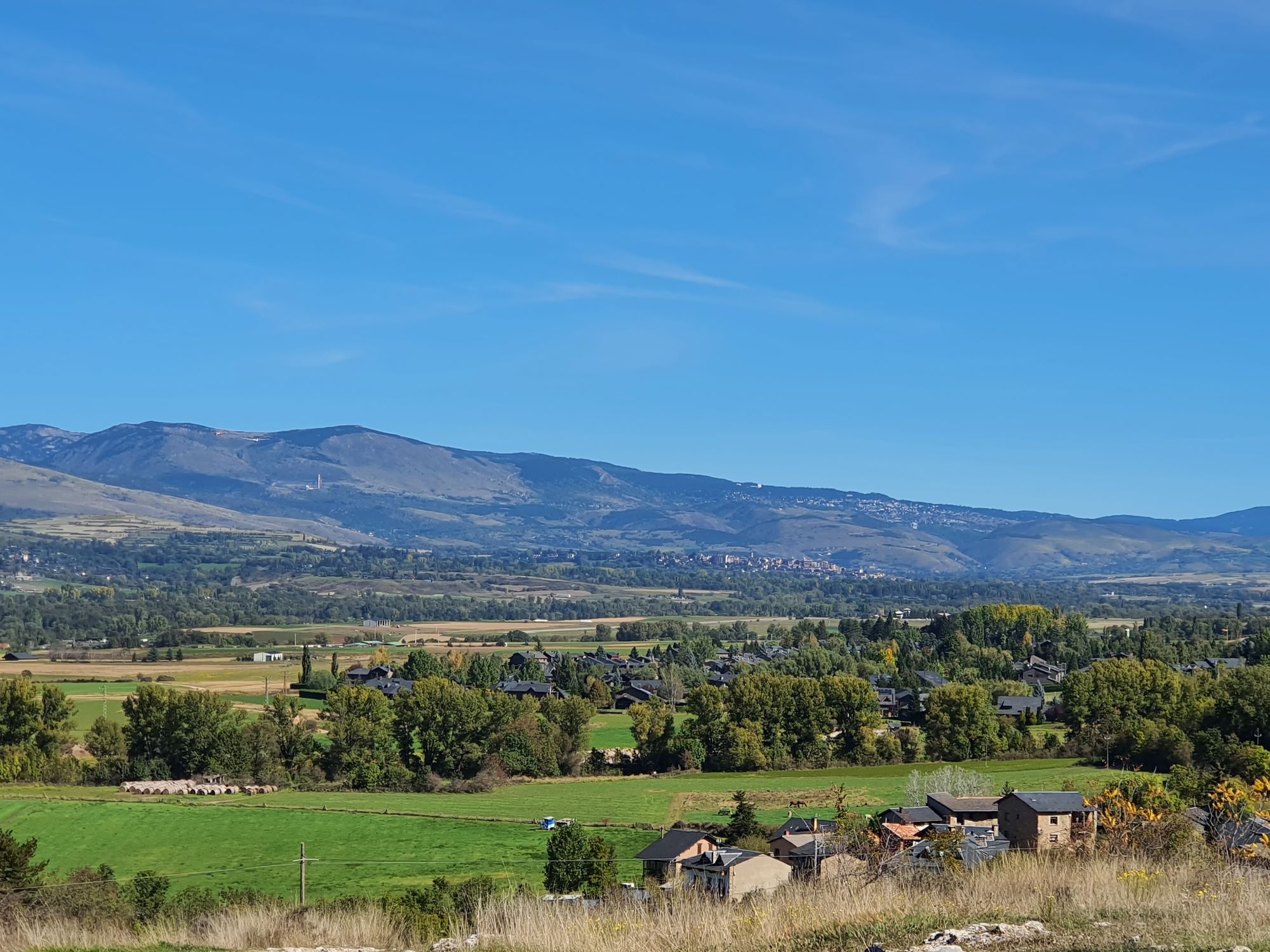
This academic year continues the cycle launched the previous year, “Tourism and Socio-Territorial Challenges”, which aims to analyse, from a critical and proactive perspective, the potential role of tourism as a complementary economic activity in local and territorial development. The 2025–2026 academic year focuses on “Managing Tourism Activity in a Mountain Region: Cerdanya”.
The project focuses on the Cerdanya region as a paradigm of an inland territory with features characteristic of mass tourism, examining its consequences for housing, mobility management and its impact on the territory, landscape, and natural and cultural heritage.
Fieldwork was carried out from 6 to 10 October 2025. The week-long field trip aimed to develop an understanding of the study area and to visit initiatives and experiences related to the project's thematic focus.
Over the five days, visits, activities and conferences were held across the study area. Throughout the programme, local experts and stakeholders involved in the territory contributed their experience and perspectives on local development and tourism planning and management. The students also benefited from the participation, guidance and expertise of teaching staff from the Department of Geography at UAB.
On 13 January 2026, a knowledge transfer and co-creation event linked to the core project of the Master’s Degree in Territorial Studies and Planning was held in Puigcerdà. The event provided an opportunity for the master’s students to present the projects they had developed on tourism management in Cerdanya and discuss them with local stakeholders.
On Thursday 22 January 2026, the results of the project Tourism and Socio-Territorial Challenges: Managing Tourism Activity in a Mountain Region: Cerdanya were presented. The event was opened by Margarita Freixas, Dean of the Faculty of Arts and Humanities; Àngel Cebollada, Director of the Department of Geography; Eduard Ariza, Coordinator of the Master’s Degree; and Asunción Blanco, Coordinator of the core project.
The master’s students presented projects that included a diagnosis and proposals for the planning and management of tourism in Cerdanya.
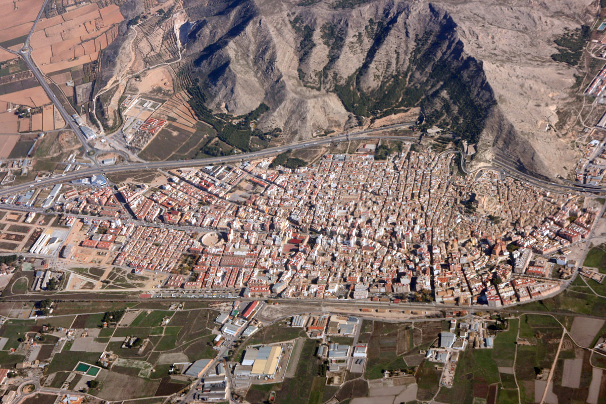
This academic year marks the beginning of a new three-year cycle entitled “Tourism and Socio-Territorial Challenges”, which aims to analyse, from a critical and proactive perspective, the potential role of tourism as a complementary economic activity in local and territorial development. The 2024–2025 academic year focuses on “Tourism Planning and Management in Inland Areas along the Vinalopó Corridor (Alicante)”.
The study area is a region in the interior of the province of Alicante, specifically the Vinalopó Valley, including municipalities such as Villena, Elda, Petrer, Biar and Novelda. The project also considers examples from the coast, such as Torrevieja and Guardamar del Segura (Baix Segura/La Vega Baja), and Benidorm (Marina Baixa), which provide useful comparative cases.
Fieldwork was carried out from 14 to 18 October 2024. The week-long field trip aimed to develop an understanding of the study area and to visit initiatives and experiences related to the project's thematic focus.
Over the five days, visits, activities and conferences were held across the study area. Throughout the programme, and according to the timetable, local experts and stakeholders involved in the territory contributed their experience and perspectives on local development and tourism planning and management. The students also benefited from the participation, guidance and expertise of teaching staff from the Departments of Regional Geographical Analysis, Physical Geography and Human Geography at the University of Alicante.
On Thursday 23 January 2025, the results of the project Tourism and Socio-Territorial Challenges: Tourism Planning and Management in Inland Areas along the Vinalopó Corridor (Alicante) were presented in the Degree Hall of the Faculty of Arts and Humanities. The event was opened by Antonio López Gay, Secretary of the Department of Geography, and Asunción Blanco, Coordinator of the core project.
The master’s students presented projects that included a diagnosis and proposals for the planning and management of inland tourism along the Vinalopó Corridor, specifically in the Alto Vinalopó and Medio Vinalopó areas. The presentations were followed by contributions from members of the audience.
Active Mobility in Metropolitan Areas
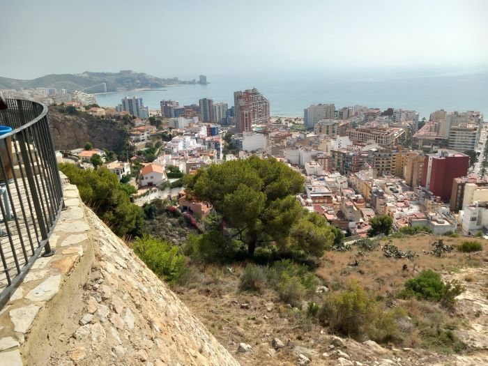
Since the 2021–2022 academic year, the Master’s Degree has focused on everyday mobility in a metropolitan context. The first edition of the cycle focused on “Mobility at the UAB and Its Metropolitan Context”. Last year, under the title “Active Mobility in Metropolitan Areas: Analysis and Planning for an Integrated Cycling Policy”, the study area focused on a metropolitan hub comprising the municipalities of Montcada i Reixac, Cerdanyola del Vallès, Ripollet, Badia del Vallès and Barberà del Vallès, all located within Barcelona’s first metropolitan ring.
The third and final edition of the cycle focuses on planning and active mobility in the Ribera Baixa. This area forms the southern gateway to the Valencia Metropolitan Area and is a point of contact with the Valencian coastal tourism area and spaces of significant natural interest, such as the Albufera Natural Park.
On Tuesday 23 January 2024, the results of the project Active Mobility in Metropolitan Areas: Foundations for the Planning and Management of Active Mobility in Ribera Baixa were presented in the Degree Hall of the Faculty of Arts and Humanities. The event was opened by Àngel Cebollada, Director of the Department of Geography and Coordinator of the core project, and was attended by Adrián Ferrabdis, Professor of Geography at the University of Valencia and Director of the Cullera City Chair.
The master’s students presented their projects, which included a diagnosis and proposals for sustainable mobility in the Ribera Baixa, a territory that forms the southern gateway to the Valencia Metropolitan Area and a point of contact with the Valencian coastal tourism area and spaces of significant natural interest, such as the Albufera Natural Park. The presentation of the projects was followed by contributions from representatives of the organisations involved and members of the audience.
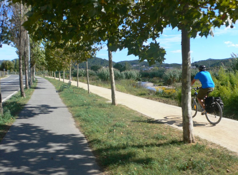
Developing a sustainable and healthy mobility system in suburban areas of the metropolis is one of the complex challenges of spatial planning. In low-density areas structured around private transport, it is difficult to promote a mobility model in which active modes of transport—walking and cycling—and public transport play a leading role.
Following the previous academic year, the Master’s Degree continues to focus on applied activities related to everyday mobility in a metropolitan context. Last year, under the title “The UAB Campus and Its Territorial Context”, the study focused on the UAB Campus. This year, the project, entitled “Active Mobility in Metropolitan Areas: Analysis and Planning for an Integrated Cycling Policy”, focuses on a metropolitan hub. The study area comprises the municipalities of Montcada i Reixac, Cerdanyola del Vallès, Ripollet, Badia del Vallès and Barberà del Vallès, all located within Barcelona’s first metropolitan ring.
On Tuesday 24 January 2023, the results of the project Active Mobility in Metropolitan Areas: Analysis and Planning for an Integrated Cycling Policy were presented in the Faculty’s Degree Hall. The event was opened by the Dean of the Faculty of Arts and Humanities, Margarita Freixas; the Director of the Department of Geography, Anna Badia; and the project director, Àngel Cebollada.
The master’s students presented the projects and proposals they had developed on cycling networks, bicycle parking and shared services, bicycle logistics, education and training, governance, and communication. The presentations were followed by contributions from representatives of the organisations involved and members of the audience.
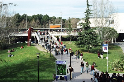
Developing a sustainable and healthy mobility system in suburban areas of the metropolis is one of the complex challenges of spatial planning. In low-density areas structured around private transport, it is difficult to promote a mobility model in which active modes of transport—walking and cycling—and public transport play a leading role.
The campus of the Universitat Autònoma de Barcelona, located in a suburban, isolated area far from any consolidated urban fabric and receiving around 50,000 people every day, provides an ideal setting for exploring the challenges of everyday mobility.
The master’s core project studies the UAB campus as a metropolitan centrality, with connectivity needs involving the surrounding municipalities and Barcelona, as well as internal mobility. The project is structured in two phases: an initial diagnostic phase followed by a second, more propositional phase.
The 2021–2022 core project of the UAB Master’s Degree in Territorial Studies and Planning: Mobility at the UAB and Its Metropolitan Context.
City and Social Vulnerability: Diagnosis and Intervention Proposals in Neighbourhoods
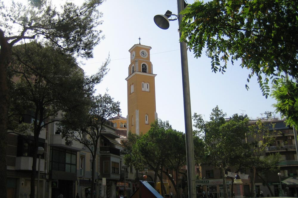
The 2020–2021 academic year marked the conclusion of the cycle focusing on the city of L’Hospitalet de Llobregat as an area of study and planning. In 2018–2019, the Bellvitge and Gornal neighbourhoods were studied; in 2019–2020, the focus was on La Florida and Les Planes; and this final edition focused on the neighbourhoods of La Torrassa and Collblanc.
The objective was to develop a proposal for the planning and management of the neighbourhoods. First, an analysis and diagnosis of the current situation in the selected neighbourhoods was carried out; second, a set of proposals and projects was developed for implementation through municipal policies and with the participation of local residents. As in previous editions, the selected neighbourhoods were characterised by social vulnerability and deteriorating living conditions.
On Thursday 13 May, the project City and Social Vulnerability: Diagnosis and Intervention Proposals in the Collblanc and La Torrassa Neighbourhoods was presented at an event held at Torre Barrina in L’Hospitalet de Llobregat. The students from the 2020–2021 cohort presented their projects to representatives of the local authorities.
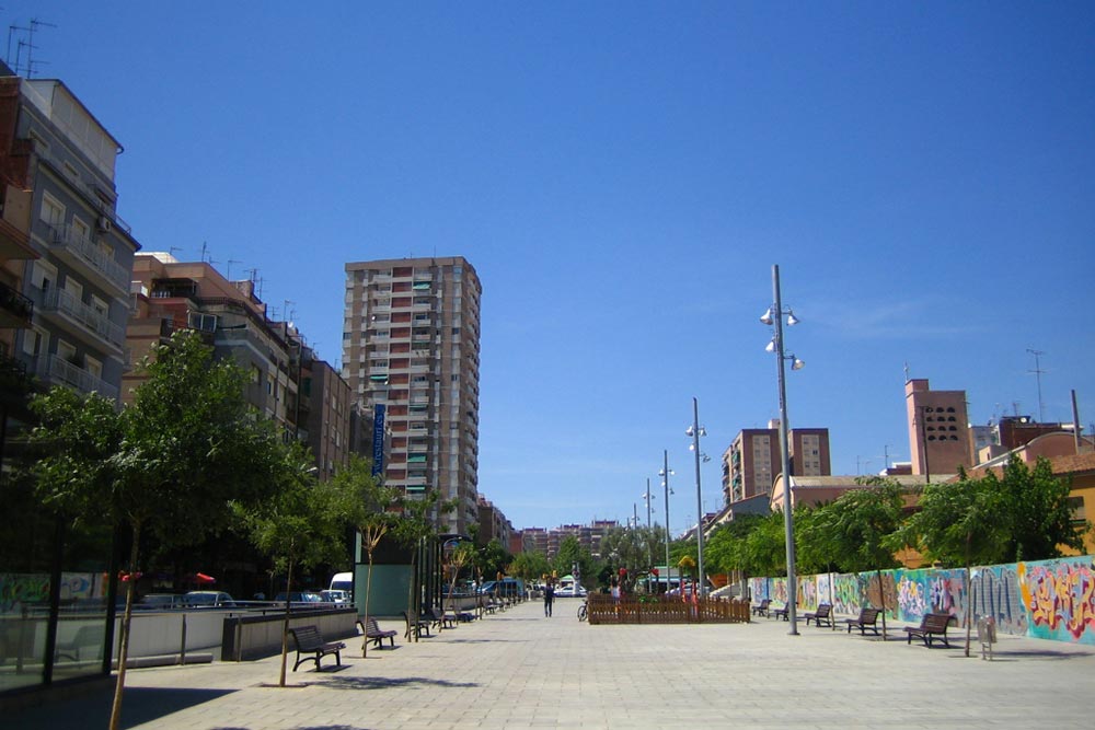
The core project aims to enhance students’ ability to intervene professionally in spatial planning. In this context, the objective is to develop a planning and management proposal for selected neighbourhoods in the city of L’Hospitalet de Llobregat. First, an analysis and diagnosis of the current situation in the selected neighbourhoods is carried out; second, a set of proposals and projects is defined for implementation through municipal policies and with the participation of local residents. The selected neighbourhoods are characterised by social vulnerability and deteriorating living conditions.
The 2019–2020 academic year was the second year of the cycle focusing on L’Hospitalet de Llobregat as an area of study and planning. In 2018–2019, the Bellvitge and Gornal neighbourhoods were studied, while this year the focus was on La Florida and Les Planes.
On Thursday 30 January, the project “City and Social Vulnerability: Diagnosis and Intervention Proposals in the La Florida and Les Planes Neighbourhoods”, developed by the Master’s Degree in Territorial Studies and Planning, was presented to L’Hospitalet de Llobregat councillor Lola Ramos Zafra.
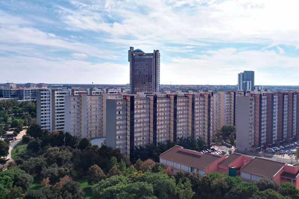
In the 2019–2020 academic year, the Master’s Degree launched a new three-year cycle, “City and Social Vulnerability: Diagnosis and Intervention Proposals in Neighbourhoods”, adopting the neighbourhood as its scale of analysis and social vulnerability as its cross-cutting theme. The aim of the three-year cycle was to develop a series of proposals for the planning and management of urban spaces in L’Hospitalet de Llobregat: Bellvitge/Gornal (2018–2019), La Florida/Les Planes (2019–2020), and Torrassa/Collblanc (2020–2021).
During the first semester, the four courses worked jointly on the analysis and development of spatial planning proposals and projects.
The first semester combined classes for each course with a programme of conferences, workshops and, during the second week of October, fieldwork. This consisted of visits to different aspects of the study area, accompanied by explanations from local authority technicians, experts and teaching staff. The field trip was compulsory and took place over four full days.
An agreement was signed with L’Hospitalet de Llobregat Town Council to establish a framework for collaboration during the fieldwork week and to facilitate access to the socio-demographic and cartographic data required for the course.
On 30 January 2019, the project work developed by the students was presented at the Bellvitge-Gornal Civic Centre.
The project involved identifying the urban, social and environmental characteristics of selected public spaces and subsequently developing management proposals for these spaces.
Diagnosis and Planning in a Context of Socio-Environmental Change: The City in 2050
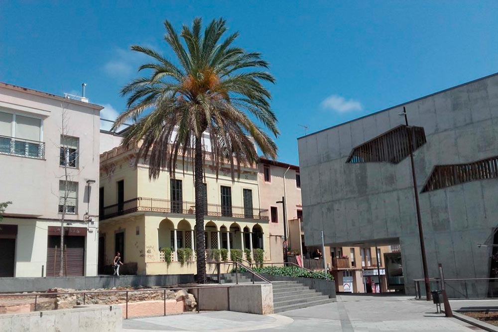
Following the two previous editions, Terrassa (2015–2016) and Sabadell (2016–2017), and in light of the positive results achieved, the coordination team of the Official Master’s Degree in Territorial and Population Studies (METIP) prepared a new core project for the 2017–2018 academic year entitled Mataró 2050: Diagnosis, Planning and Management of Urban Spaces in a Context of Socio-Environmental Change.
An intensive week of fieldwork was planned for 9–13 October 2017, covering different areas of the city of Mataró. The working structure consisted of: a) a presentation at a civic centre or similar venue by a representative of the local council, followed by a discussion; b) a guided visit to the area concerned, followed by work in another area in the early afternoon. All the areas visited were locations where the students would subsequently develop their projects. Each day concluded with a conference on different aspects of the city of Mataró (historical, socio-economic, urban planning, etc.), delivered by a specialist in the relevant field.

The 2016–2017 edition of the METIP core project focused on the city of Terrassa, with climate change and ageing as its main areas of study, looking ahead to the year 2050.
On 14 October, the conference series “Terrassa 2050: Diagnosis, Planning and Management of Neighbourhoods in a Context of Socio-Environmental Change”, organised by the Department of Geography in collaboration with Terrassa Town Council, concluded at the Central Library of Terrassa.
The series comprised four conferences open to the general public, but specifically designed for the master’s students, who were required to develop urban planning proposals and projects for different neighbourhoods in Terrassa, with a 2050 horizon and taking into account climate and socio-demographic changes.
As part of the master's project, the 32 enrolled students also visited several neighbourhoods across the city throughout the week to gain a deeper understanding of their local context. During these visits, students and teaching staff received support from municipal officers and people involved in various local organisations.
The document Terrassa 2050 includes the final compilation of all the projects developed by the students. The presentation event took place on 30 January at Masia Freixa.
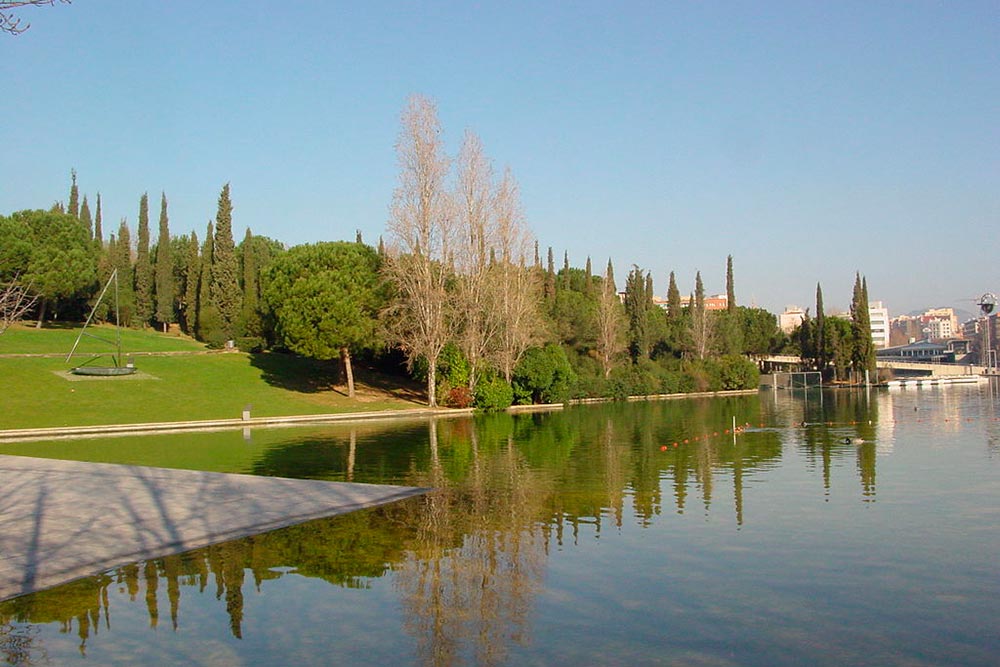
In the 2015–2016 academic year, the core project of the Master’s Degree in Territorial and Population Studies, specialising in Spatial Planning, challenged students to carry out a diagnosis and develop scenarios for the city of Sabadell for 2050 within a context of climate change. More specifically, the METIP core project focused on the diagnosis, planning and management of open spaces in Sabadell. The distinctive feature of the project was that these tasks were undertaken with 2050 as the reference year. The aim was therefore to learn how to diagnose, plan and manage from an anticipatory perspective that takes into account possible future socio-environmental scenarios for the city and its system of open spaces (parks, gardens, river spaces, agricultural and forest areas, etc.).
The fieldwork took place from 19 to 23 October 2015.
On 9 and 10 December, the master's student groups presented the scenarios proposed for each study area at the civic centres in the neighbourhoods of Torre-romeu, Can Puiggener, Creu Alta, Poblenou, Campoamor, Espronceda, Can Deu and Can Llong.
The document Sabadell 2050 is the final compilation of all the projects developed by the students.
Territorial Management in the Balearic Islands
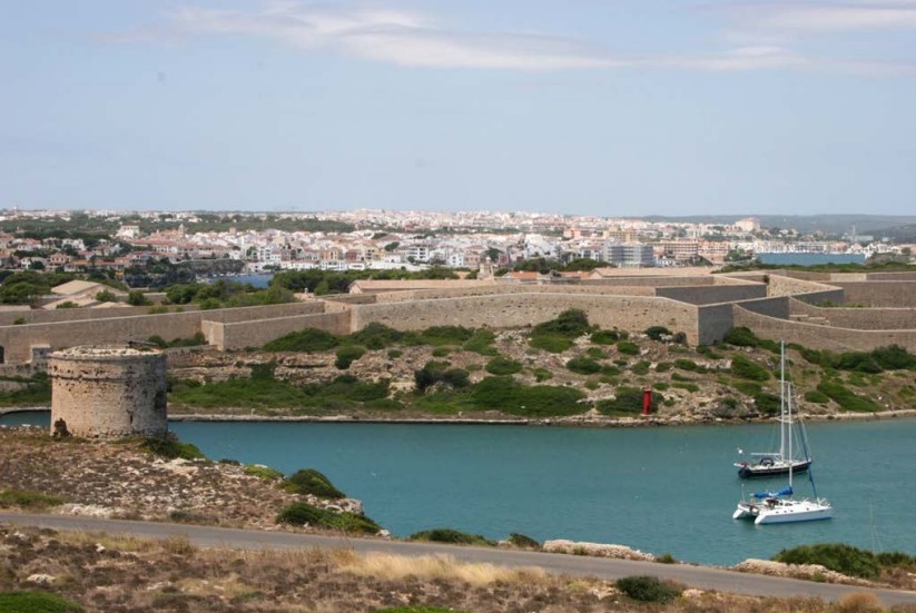
This edition of the core programme concludes the three-year cycle of the METIP Master's core programme launched in 2011. The cycle comprised three planning exercises focusing on the Balearic Islands as the study area: Foundations for Territorial Management on the Island of Formentera (2011–2012), Foundations for Landscape Management in the Serra de Tramuntana, Mallorca (2012–2013), and Foundations for Mobility Planning and Management on the Island of Menorca (2014–2015).
As part of the project, a field trip to the island of Menorca was carried out from 13 to 17 October 2014. The field trip was coordinated by Professor Jaume Mateu of the University of the Balearic Islands.
The document presented here includes the Foundations for Mobility Planning and Management on the Island of Menorca (2014–2015), namely, the final compilation of all the projects developed by students on the Spatial Planning track as part of the core programme, which brought together the four modules involved: Advanced Topics, Spatial Planning, Cities and Metropolitan Areas, and GIS, Planning and Landscape.
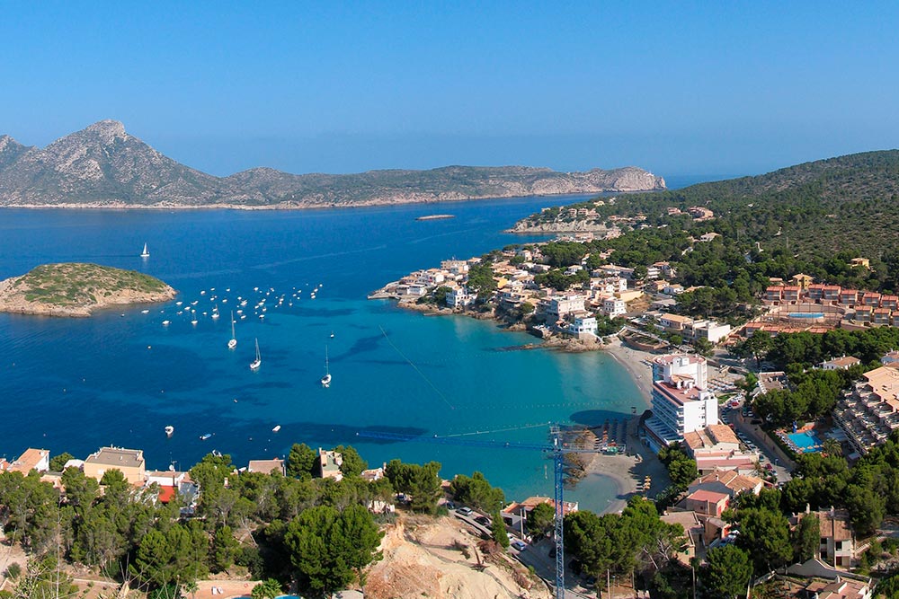
This edition of the core programme continues the three-year cycle of the METIP Master's core programme launched the previous academic year. During this three-year period, the Balearic Islands are the study area. Last year, the project Foundations for Territorial Management on the Island of Formentera (2011–2012) was developed; in this edition, the selected study area is the island of Mallorca, specifically the Serra de Tramuntana.
As part of the project, a field trip to the island of Mallorca was carried out from 10 to 15 October 2013. The field trip was coordinated by Professor Jaume Mateu of the University of the Balearic Islands.
The document presented here includes the Foundations for Landscape Management in the Serra de Tramuntana: 13 Proposals and 55 Projects, namely, the final compilation of all the projects developed by the students.
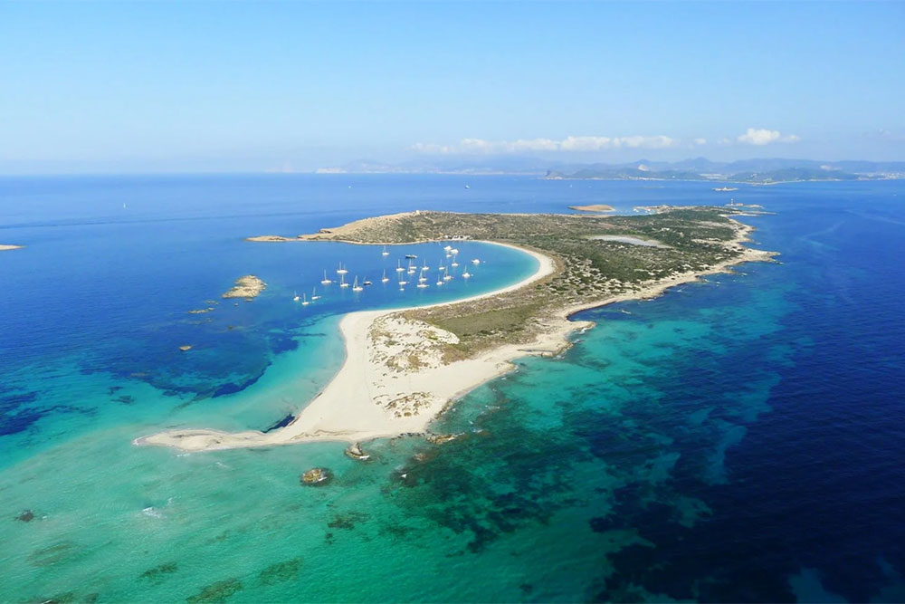
This edition of the core programme marked the beginning of the three-year cycle of the METIP Master's core programme, focusing on the Balearic Islands as its study area. This year's METIP Master's core programme aimed to produce, by the students, a territorial management plan for the island of Formentera that met all the formal and substantive requirements expected of a document to be debated and processed administratively.
As part of the project, a field trip to the island of Formentera was carried out from 14 to 17 October 2012. The field trip was coordinated by Professor Jaume Mateu of the University of the Balearic Islands.
The document presented here includes the Foundations for Territorial Management on the Island of Formentera: 8 Proposals and 36 Projects, namely, the final compilation of all the projects developed by the students.