The Cartoteca presents the cartographic exhibition "Spanish Civil War Maps (1936-1939)"
During the month of May, the General Map Library is exhibiting a selection from its special collection “Spanish Civil War Maps” in the display cases of the Periodicals Room of the Humanities Library.
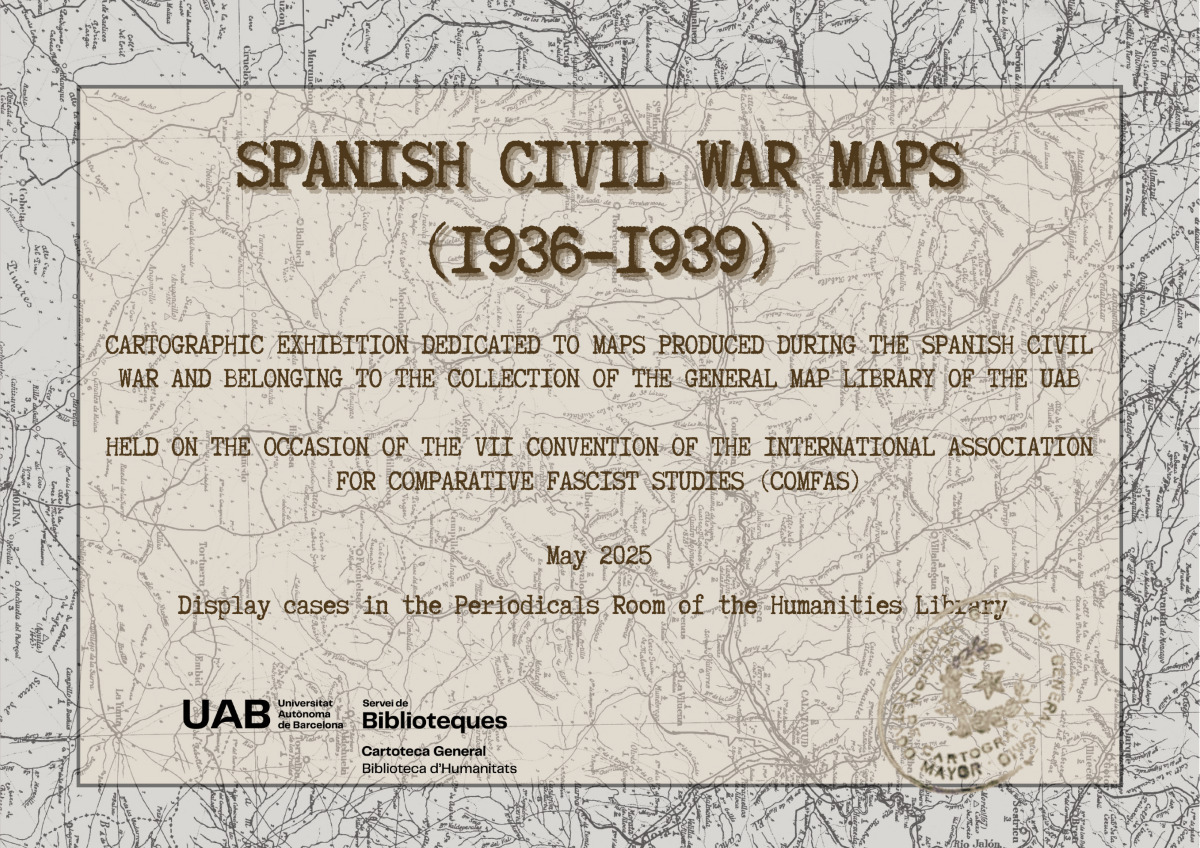
The exhibition "Spanish Civil War Maps" aims to offer an overview of the cartographic production generated during the Spanish War.
The war in maps and maps of the war are the two aspects you will find. On the one hand, cartography of the Civil War in a series of historical atlases that capture the main events at different territorial scales. On the other hand, a selection of maps produced at that time, through which we can understand the difficulty of having a tool that is often essential in a war.
Through official cartography (topographic and itinerary) and maps produced by the general public, some of them markedly propagandistic, a brief overview is provided of what represented one of the most important moments in the history of Spanish cartography.
The exhibition is being held on the occasion of the 7th Convention of the International Association for Comparative Fascist Studies (COMFAS), which will take place at the end of May at the Faculty of Arts and Humanities of the UAB. Remember that you can view both the digitised collection and the virtual exhibition held for the digitisation of the collection at the UAB Digital Repository of Documents.