Public presentation of the project: The Use of Geoinformation for Decision-Making. Development of a GIS for Territorial Planning: The Case of the Municipality of Matadepera.
Event details
- Beginning: 05 February 2026
- 18:00
- Main Auditorium of the Casal de Cultura of Matadepera
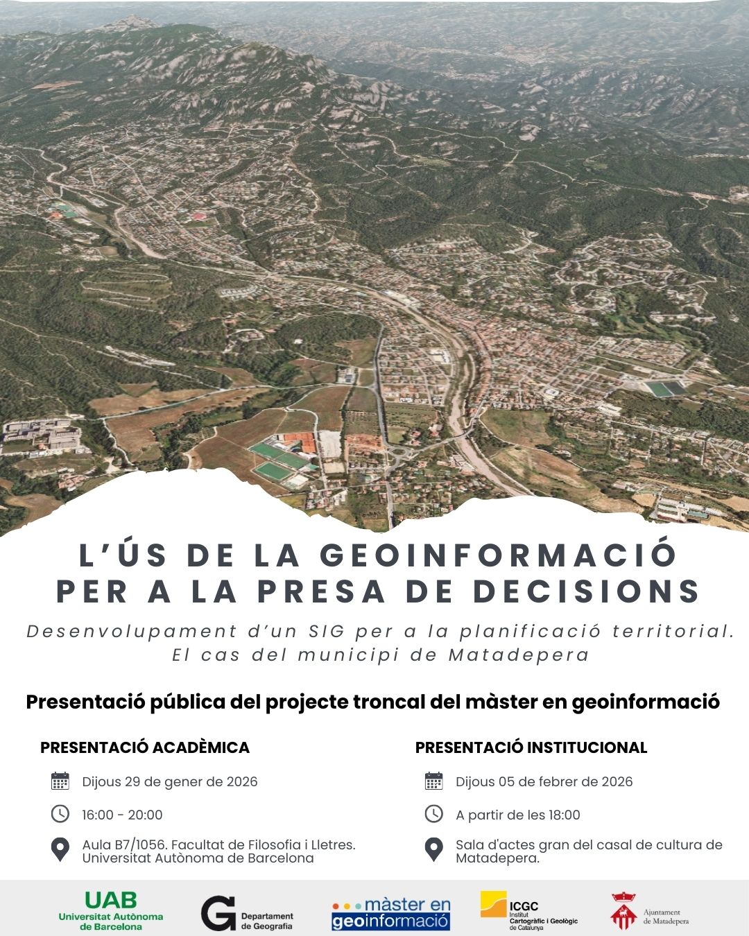
Next Thursday, February 5, the public presentation of the core project of the Master’s Degree in Geoinformation will take place: The Use of Geoinformation for Decision-Making. Development of a GIS for Territorial Planning: The Case of the Municipality of Matadepera. It will be held in the main auditorium of the Casal de Cultura in Matadepera..