

Urban morphology and urbanization process in Ecuador through night satellite images
Can the expansion of urban land be efficient from an economic point of view? Is it sustainable from an environmental point of view? A study carried out by researcher Verónica Mejía from the Department of Geography tries to answer these questions. The methodology employed, making use of night satellite images, has allowed her to study the anthropic impact on the expansion and dispersion process of urbanized land by analyzing the evolution in magnitude and light intensity of these images, within a 20-year time frame.
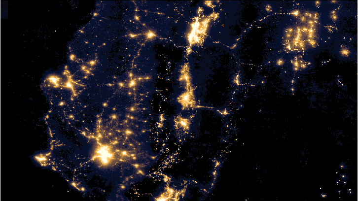
The study analyzes the process of dispersion of urban uses in the settlements of the Republic of Ecuador using nighttime satellite images, considering in particular the magnitude and intensity of the light emitted by the territory. In this way, the aim is to characterize urban land uses by focusing on the analysis of low density and dispersed urbanization processes originated in recent years.
The article first presents a territorial framework that addresses the characteristics of the urbanization process in Ecuador and the expansion of urban uses in the territory. This refers to the intense transformations of the soil that have been generated in the field of study since the last decades of the last century. Then the methodological framework is presented through which the characteristics, potentialities, and limitations of the base source used are highlighted. Here, the process applied to determine the urban luminosity level is presented. This brightness threshold allows us to analyze the evolution of the surface subject to anthropic uses in different periods of time. Likewise, the process to identify the average luminosity in the main settlements of Ecuador is described.
This methodology is applied in the DMSP-OLS images (a kind of imagery that records the levels of light emitted by the earth's surface at night) that correspond to a time range that covers from 1992 to 2012. Thus in the obtained results, it is identified: the normative value referring to the threshold of urban luminosity for the main Ecuadorian settlements; the evolution of the luminosity average; and the evolution of the surfaces with urban light intensity for each settlement as well as the whole analyzed area. These data allow us to carry out comparative analyzes to corroborate the territorial inequalities in the Ecuadorian urban system and determine the evolution trend of the urbanization process. In addition, it was analyzed the relationship between the evolution of certain urban variables and luminosity, thus highlighting the impact that the dispersion processes of anthropic uses have had in the study period.
In light of the results obtained, the hypothesis that the low density expansive process present in Ecuadorian cities generates a rapid expansion of urban uses is debated and confirmed. This can be inefficient from an economic point of view and not very sustainable from an environmental point of view.
From a methodological point of view, the research presents the potentialities that emerge from the use of the base source, night satellite images, and the proposed procedures, which are relatively innovative for the Latin American context.
Department of Geographie, Universitat Autònoma de Barcelona.
References
Mejía, Verónica. (2020). Morfología urbana y proceso de urbanización en Ecuador a través de la imagen satelital nocturna de la Tierra, 1992-2012. EURE (Santiago), 46(138), 191-214. https://dx.doi.org/10.4067/S0250-71612020000200191