Remote sensing dictionary now available online
18/03/2015
The updates made to the dictionary, published on paper in 2012 by the Catalan Institute of Cartography and Catalan Encyclopaedia, included a revision of the terms, particularly of the platforms and sensors created since the paper version, both with regard to characteristics and to the launch and completion dates of the service. It also incorporates new terms considered now to be consolidated enough to add to the 3,500 entries which already made up this dictionary.
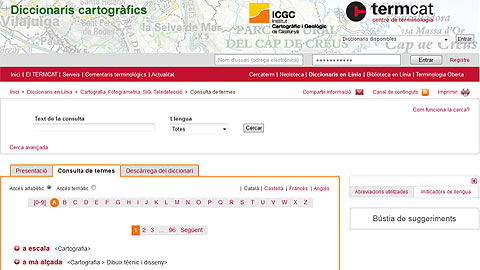
Another novelty of the new online edition is the search options offered. Now, users can search for a term in all related TERMCAT dictionaries, such as the dictionaries on Cartography (by UB professors Rabella, Panareda and Ramazzini), the Geography Information Systems (UAB professor Joan Nunes) and the Photogrammetry (UnEx professor Fra).
Terms can be searched for in various languages, and results are also offered with their equivalents.
For example, the search for "Landsat" yields a result from the Remote Sensing Dictionary with a launch date including the recent Landsat-8 (which was monitored and disseminated in a communication from the UAB campus) and news about the new OLI and TIRS sensors, which can also be searched to learn about their new innovative characteristics.